Which wind came first?

How the wind turns
August 18, 2014
Holes around rocks
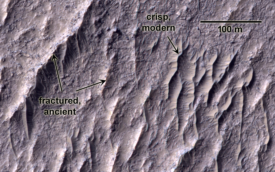
September 3, 2014 A piece of Mars: This scene (3.9×2.5 km or 2.4×1.6 mi) shows a surface carved by two different winds: one blowing from the right and one blowing from the bottom right. They’ve formed overlapping sets of streamlined rocks called yardangs. Can you tell which set of yardangs was formed first? It’s a little more complicated than it may first appear. (HiRISE ESP_037156_1800 NASA/JPL/Univ. of Arizona)


8 Comments
Lori,
I tried to find a way to raise this question which is seperate from your post, but nothing obvious I could see on the Cosmic Diary site…..so sorry for this!
In your work have you had the opportunity to review any views from the Cydonia region? I understand there were a number of unusually straight edged features noticed during earlier satellite overpasses, so it would be interesting if anything has been reviewed…..?
I suppose I could have a look. I haven’t kept up with the pseudoscience end of things (I dunno, does it pay better? joking…). Are there any structures in particular? The “Face” has been imaged enough times that it’s not really novel to look at again. I try to keep to the aeolian side of things, but that’s not difficult on a place like Mars.
Lori, I am feeling that the formations running from bottom right up to top left are the earliest ones, as the other formations seem to of collapsed or over run them in some places.
It’s tricky, isn’t it? It seems to me to be the other way around, since there are places where the bottom-right-to-top-left ones are superposed on the right-to-left ones. If it were obvious, though, it wouldn’t be as much fun.
The ones blowing from the right. Because the bottom ones overlapping the first.
Yeah, I think you’re right. It’s not easy to tell though, and I think it’s because we’re seeing multiple episodes of deposition and partial erosion. Here’s the sequence of events I would propose:
1. Deposition of bottom layer.
2. Erosion of bottom layer by wind from the right (east), leaving behind uneven terrain. In places the erosion took away the entire deposit, and in other places the wind-carved rocks (called yardangs) are left behind.
3. Deposition of upper layer.
4. Erosion of upper layer by wind from lower right (southeast), again leaving behind uneven terrain. In places this upper layer is completely gone, exposing either the older wind-stripped rocks from the lower layer or even older terrain that lay beneath it (these are the spots that were completely eroded away in step #2). In other places, we can see both sets of yardangs together.
5. Deposition of small bedforms (ripples/dunes) in the low-lying areas.
6. What will happen next??? Who knows…
I think I see structures formed from the right overlying structures formed from the lower right, especially in the lower right 1/4 of the photo.
But then I click on the Hirise link and that photo appears to be the opposite.