Distances to Mt. Sharp

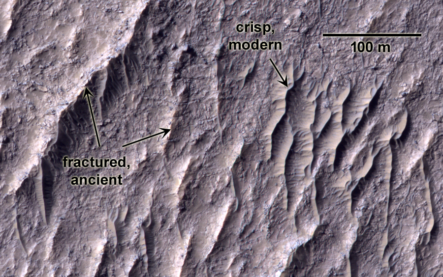
Feathered terrain up on Mt. Sharp, where Curiosity may one day go
August 28, 2012
Valley in Mt. Sharp
September 9, 2012 A piece of Gale crater, Mars: Last week NASA released an image from Curiosity showing various distances on the path to Mt. Sharp. I decided to go and see if I could find where they are in spacecraft images. On the right is a CTX image showing the area, with what I think are the locations annotated on the left. Anybody on the MSL team know if I got it right?


1 Comment
Hate to say it but I’m pretty sure that the correspondence is in error for the 9.3 km annotation. I downloaded the 1.5 Gig Hirise image for the Curiosity landing site, and I used the Sol 3 Raw Mastcam images to make a panorama and searched for match-ups. It is very difficult because of course, “everything looks the same”, and it’s hard to find indubitable correspondences. Having found a number of convincing ones, though, I produced a radial grid on the Hirise view to match up with corresponding linear displacements in the panorama. This gives good success. Also, I can zoom in on the Hirise view ( in which you can actually see Curiosity sitting there ) and match details of the features with the panorama view.
So, in reference to your posted comparison, I believe the “triangular” peak labeled 9.3km in the Mastcam view appears in the Hirise view above the “0” of the 10.7 km label. Note the deep shadow in both representations, and the correspondence of the smaller peaks to the left in the Hirise view and to the right in the Mastcam view. This also brings into line a number of other correspondences.
Anyway, thanks for this image.